The Role of Technology in Transforming Land Surveying
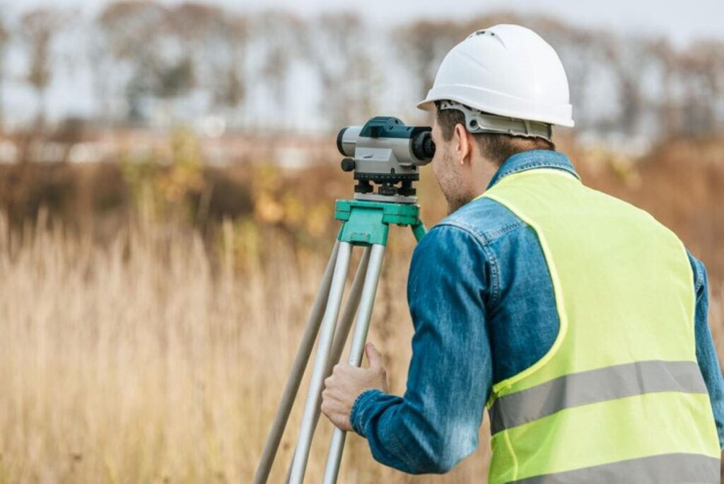
Land surveying is crucial for property development and infrastructure projects in Sydney. Thanks to technological advancements, the traditional methods of measuring and mapping land have undergone a significant transformation, making it easier for surveyors to provide accurate and efficient services.
Modern Tools Used in Land Surveying
Modern land surveying uses advanced tools that have completely changed how data is collected and analysed:
- Digital Total Stations: These replace manual theodolites and offer measurements with millimetre accuracy.
- GPS/GNSS Systems: These systems enable precise positioning and allow data to be captured in real-time.
- 3D Laser Scanners: These devices create detailed point clouds, which are three-dimensional representations of objects or spaces, making site documentation more comprehensive.
- Mobile Mapping Systems: These systems facilitate quick data collection over large areas.
Benefits of Technology for Property Developers and Construction Projects
The introduction of these technological innovations brings several advantages to property developers and construction projects:
- Less time spent on-site
- Improved accuracy in measurements
- Extensive data collection
- Increased safety for surveying teams
- Cost-effective delivery of projects
The Impact of Technology on Land Surveying
The integration of advanced technology has completely changed land surveying. What used to be a slow manual process is now an efficient digital operation. The top surveying firms in Sydney now combine these state-of-the-art tools with professional knowledge to achieve outstanding results in various sectors such as telecommunications, infrastructure, and government projects.
This ongoing technological revolution continues to enhance efficiency and accuracy in land surveying. It sets higher standards for the industry while still recognising the vital role surveyors play in property development and urban planning.
Evolution of Land Surveying Techniques in Sydney
The field of land surveying in Sydney has experienced significant changes due to technological advancements. The introduction of modern surveying equipment has set new standards for accuracy and efficiency in the industry.
1. GPS Technology Integration
High-precision GPS devices now achieve millimetre-level accuracy in coordinate measurements. These advanced systems enable surveyors to:
- Create real-time kinematic (RTK) measurements
- Generate instant data verification
- Reduce manual calculation errors
- Map extensive areas with unprecedented speed
2. Revolutionary Laser Scanning
3D laser scanning technology has introduced new possibilities in spatial data collection. This cutting-edge approach delivers:
- Comprehensive point cloud data
- Precise measurements of complex structures
- Digital terrain models with sub-millimetre accuracy
- Virtual reality-ready visualisations of surveyed areas
3. Drone Technology Applications
Unmanned Aerial Vehicles (UAVs) have transformed access to challenging terrains. These sophisticated tools provide:
- Aerial mapping of hazardous locations
- Quick surveys of large-scale properties
- High-resolution photogrammetry
- Time-efficient site inspections
4. Geographic Information Systems (GIS)
The integration of GIS technology has revolutionised data management and analysis. Modern GIS applications enable:
- Seamless data integration from multiple sources
- Advanced spatial analysis
- Custom map creation
- Real-time collaboration between team members
These technological advancements have significantly enhanced the capabilities of Sydney’s land surveying services. The combination of these tools allows surveyors to deliver comprehensive, accurate results while reducing project timelines and operational costs.
The adoption of these technologies by firms like Wumara Group has elevated the standard of surveying services across NSW and QLD. These innovations support various sectors, from telecommunications infrastructure to government projects, ensuring precise measurements and detailed documentation for every surveying task.
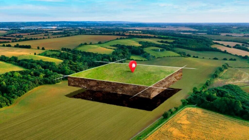
The Importance of Accurate Land Surveys in Property Development
Accurate land surveys are essential for successful property development projects. Even a small mistake in surveying can lead to a series of problems, causing significant financial losses and legal disputes.
Consequences of Surveying Mistakes:
- Boundary disputes between neighbouring properties
- Structural issues in buildings
- Violations of local council regulations
- Delays in construction and exceeding budgets
- Safety risks for future occupants
Property developers must obtain precise land surveys to safeguard their investments and ensure the feasibility of their projects. These surveys help identify potential challenges such as unstable soil, drainage problems, or underground utilities before construction begins.
Identifying Challenges Early On:
- Analysis of soil composition
- Assessment of flood risks
- Consideration of heritage sites
- Evaluation of environmental impacts
- Examination of existing infrastructure
Land surveys are crucial for managing risks in property developments. Professional surveyors utilise advanced technology to create detailed analyses of the site, assisting developers in making informed decisions about project viability and design requirements.
Benefits of Risk Management:
- Accurate determination of boundaries
- Detailed mapping of the terrain
- Identification of subsurface utility locations
- Compliance with zoning regulations
- Clear documentation for legal purposes
The information gathered from thorough land surveys allows developers to optimise their site plans, make the best use of the land, and comply with local building codes. This proactive approach helps avoid expensive changes during construction and protects both developer investments and community interests.
Understanding the Surveying Process: From Site Assessment to Detailed Reporting
The modern land surveying process combines precision instruments with expert knowledge to deliver accurate results. A systematic approach ensures reliable outcomes for property development projects.
1. Initial Site Assessment
- Visual inspection of the property
- Identification of existing boundaries and structures
- Assessment of potential challenges or obstacles
- Documentation of site conditions and access points
2. Data Collection Phase
- Setup of survey control points using GPS technology
- Implementation of traverse and detail surveys
- Collection of topographic data through 3D scanning
- Underground utility mapping with ground-penetrating radar
3. Quality Control Measures
- Cross-referencing collected data with existing records
- Verification of measurements through multiple methods
- Calibration checks on all equipment
- Independent review of critical measurements
4. Data Processing and Analysis
- Integration of field data into specialised software
- Creation of digital terrain models
- Analysis of spatial relationships
- Identification of potential discrepancies
5. Report Generation
- Production of detailed CAD drawings
- Development of comprehensive survey reports
- Generation of 3D visualisations
- Documentation of methodologies used
The success of each surveying project relies on the expertise of qualified surveyors who understand both traditional principles and modern technology. These professionals must maintain proficiency in operating advanced instruments while applying their knowledge of local regulations and standards.
Advanced technological tools such as robotic total stations, RTK GPS systems, and laser scanners require skilled operators who can maximise their capabilities. Regular training and certification ensure surveyors stay current with evolving technology and maintain high standards of accuracy in their work. You may like to visit https://billalleninspections.com/land-surveyor-brisbane-services-and-expertise-explained/ to get more about Land Surveyor Brisbane: Services and Expertise Explained.
Overcoming Challenges in Sydney’s Urban Environment: The Role of Adaptive Techniques and Compliance with Regulations
Sydney’s urban landscape presents unique challenges for land surveyors, requiring innovative solutions and strict adherence to regulations. The city’s diverse terrain, from heritage buildings to high-density developments, demands specialised approaches for accurate surveying.
Adaptive Techniques in Urban Settings
- 3D Laser Scanning – Essential for capturing detailed measurements of complex urban structures without physical contact
- Ground Penetrating Radar (GPR) – Identifies underground utilities and structures in densely populated areas
- Mobile Mapping Systems – Allows rapid data collection in high-traffic urban zones
Regulatory Compliance Requirements
Land surveyors in Sydney must navigate a complex web of regulations:
- NSW Surveying and Spatial Information Act 2002
- Surveying and Spatial Information Regulation 2017
- Local council development controls
- Heritage conservation requirements
The implementation of adaptive techniques requires careful consideration of these regulatory frameworks. Professional surveyors must maintain detailed documentation and ensure all measurements meet the stringent accuracy standards set by governing bodies.
Urban Environment Challenges
- Limited access to survey points due to existing structures
- Interference from electromagnetic fields affecting equipment
- Restricted working hours in residential areas
- Heritage preservation considerations
- Underground utility networks
Modern surveying companies employ specialised equipment and methodologies to address these urban challenges while maintaining compliance with relevant regulations. This approach ensures accurate results without compromising the integrity of existing infrastructure or violating legal requirements.
The Future of Land Surveying: How Technology Will Continue to Revolutionise the Industry
The land surveying industry is on the brink of a technological revolution. Artificial Intelligence (AI) and machine learning algorithms are about to transform data processing capabilities, allowing surveyors to analyse complex terrain data with unmatched accuracy and speed.
Emerging Technologies Reshaping the Field:
1. AI-Powered Analysis
- Automated feature detection in point clouds
- Real-time data processing and validation
- Predictive maintenance for surveying equipment
2. Advanced Robotics
- Autonomous surveying robots for hazardous environments
- Self-calibrating instruments
- Smart sensors for continuous monitoring
3. Enhanced Reality Solutions
- Mixed reality displays for on-site visualisation
- Real-time 3D modelling capabilities
- Interactive holographic mapping
The integration of blockchain technology promises to revolutionise land registry systems, creating unchangeable records of property boundaries and ownership. This advancement will significantly reduce disputes and streamline property transactions.
5G connectivity will enable real-time data sharing between field teams and office-based professionals, creating seamless workflows and instant decision-making capabilities. The combination of Internet of Things (IoT) sensors with advanced surveying equipment will provide continuous monitoring of land movements and structural changes.
These technological advancements will create new roles within the industry, requiring surveyors to develop expertise in data science and digital technologies while maintaining their traditional surveying skills.

Conclusion
The transformation of land surveying in Sydney demonstrates the powerful synergy between cutting-edge technology and professional expertise. While advanced tools and digital innovations revolutionise the industry’s capabilities, the human element remains irreplaceable. Professional surveyors bring critical thinking, problem-solving abilities, and deep regulatory knowledge that technology alone cannot provide.
The success of property development projects hinges on this balanced approach. Modern surveying equipment delivers precise measurements and detailed data, yet it takes experienced professionals to interpret these results and make informed decisions. Companies like Wumara Group exemplify this integration, combining state-of-the-art technology with skilled expertise to deliver comprehensive surveying solutions across NSW and QLD.
The future of land surveying lies not in choosing between technology and human expertise, but in leveraging both to achieve optimal results. This combination ensures accurate, efficient, and compliant surveying services that meet the evolving demands of Sydney’s dynamic property development landscape.